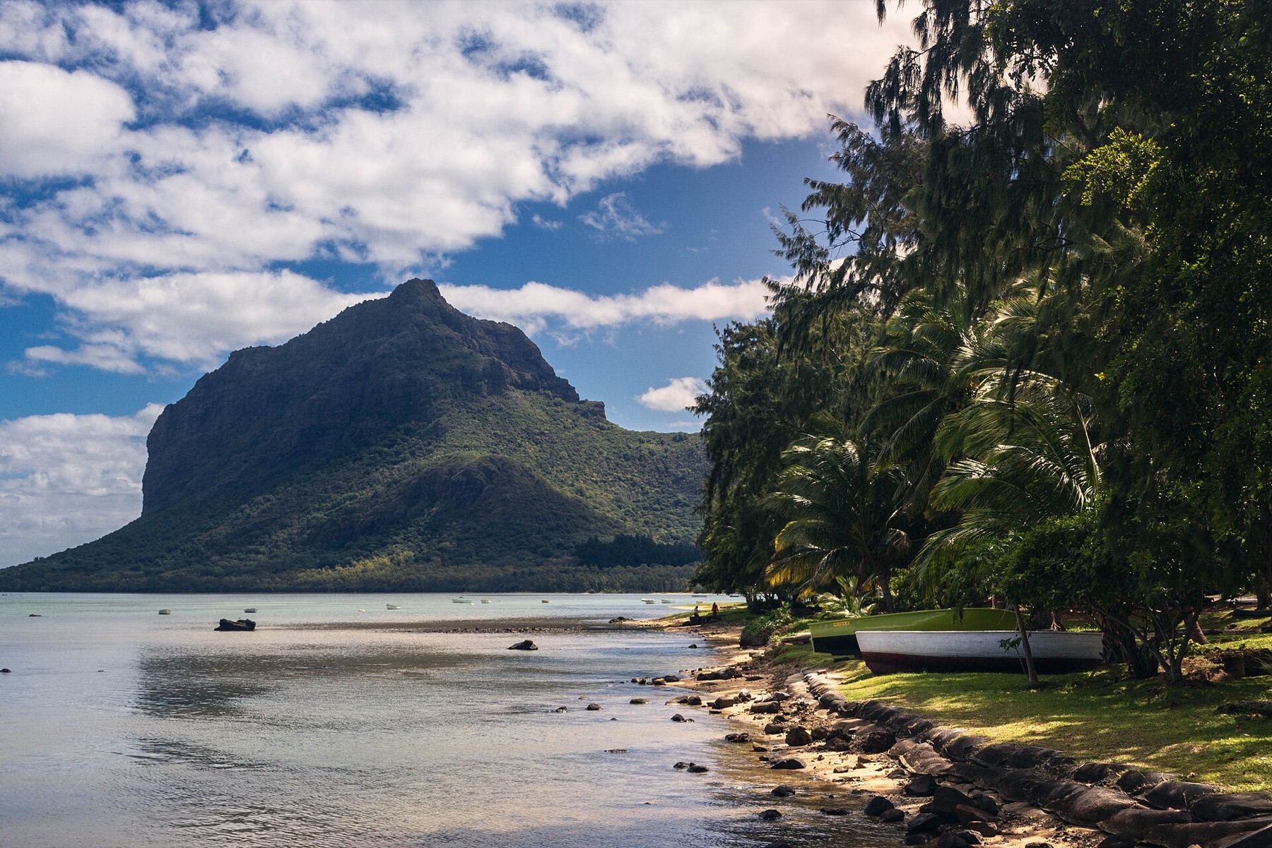
Le Morne Brabant is the 556-metre basalt block at the south-west tip of Mauritius, the mountain on every postcard of the island. It is also a UNESCO World Heritage Site, inscribed in 2008 as a cultural landscape: in the 18th and early 19th centuries escaped slaves, the maroons, hid in its caves and on its slopes, and the mountain stands for resistance to slavery. The hike is the best on the island, but it comes in two very different halves, and only one of them may be open when you go.
Check the access status first
The trail has two sections. The lower one runs from the visitor entrance to a viewpoint about halfway up and is a straightforward walk. The upper one, from that viewpoint to the metal cross below the summit, is a steep scramble on loose rock, and it is the part that keeps closing. It shut for around five months in 2023 after a landslide, reopened on a new line in July that year, and it can close again at short notice after rockfall or heavy rain.
Before you plan your day around the cross, ask at the visitor entrance, or ask your guide, whether the upper section is open that week. If it is closed, the lower section alone is still worth the early start.
The lower section: to the viewpoint
From the Le Morne Heritage Trust Fund visitor entrance at the foot of the mountain, where you sign in and out, a clear path climbs through scrub and forest for roughly 2.5 kilometres to the first big viewpoint. Most walkers take 45 minutes to an hour. It is a walk, not a climb, and the view at the top is already the one you came for: the lagoon in every shade of turquoise, the kitesurf beaches below and the reef line out to sea.
The upper section: to the cross
When it is open, the upper stretch is short, around 760 metres, and completely different. It is hands-and-feet scrambling, with exposed steps, loose stones and no vehicle access if someone gets hurt. The trail ends at a metal cross at around 492 metres; the summit plateau beyond it is protected and not part of the visitor route.
The full return trip to the cross is around 6.5 to 7 kilometres with roughly 500 metres of climbing, and takes most people 3.5 to 4.5 hours. Injuries happen above the viewpoint every season, almost always on wet rock. If it rained overnight, stop at the viewpoint.
Do you need a guide?
For the lower section, no. For the upper section the rule has changed over the years: at times a licensed guide has been required from the viewpoint up, at times walkers have been allowed to continue alone after signing a form, and wardens close it in wet weather either way. Ask at the entrance what applies that week. A guided hike with a licensed operator costs around 2,000 to 2,500 rupees a person, a little more for a sunrise start, with hotel transfers usually extra.
When to start
The gate opens at 7:00 and closes at 16:00, so a late start is not an option. Start as close to 7:00 as you can. The trail is exposed, and by 10 or 11 in summer the rock is hot and the air is well over 30 degrees.
What to bring
- 1.5 to 2 litres of water each. There is none on the mountain.
- Shoes with real grip. Trainers and sandals are how people slip.
- Sun protection. The shade runs out early.
- A charged phone, and someone at your hotel who knows where you have gone.
Getting there
The visitor entrance is signposted from the coast road at Le Morne, with parking at the gate. Buses on the Quatre Bornes to Baie du Cap line pass the Le Morne turn-off, but from there it is roughly two kilometres on foot to the trailhead, which makes a 7:00 start hard without a car or taxi. Afterwards, the public beach is a few minutes away: see our Le Morne beach guide.