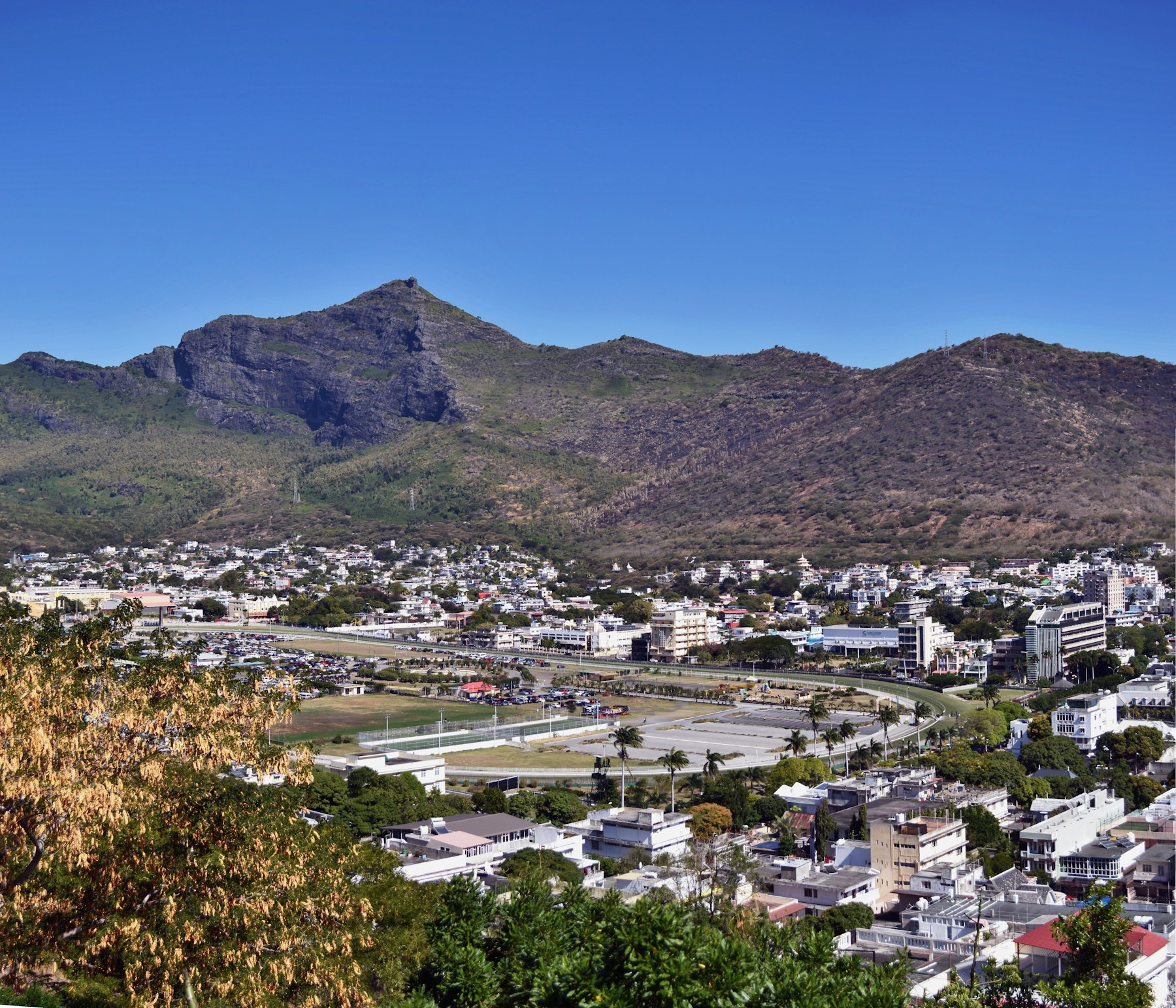
Le Pouce is the most accessible of the famous Mauritian summits and the best first hike on the island. At 812 metres it is the third highest peak, and it takes its name - "the thumb" - from the blunt rock pinnacle at the top.
The route
The standard approach starts at Petit Verger, near Saint Pierre, about twenty minutes from Port Louis. The path is clearly marked and runs up through sugar cane and forest before opening onto grassy slopes with the summit ahead of you.
It is roughly 4.5 kilometres return from the car park. Most reasonably fit walkers are up in one to two hours, and a relaxed round trip with stops at the top is a comfortable half day.
The last stretch
Almost all of it is easy to moderate walking. The final section changes character: it steepens into a short scramble on volcanic rock where you will use your hands and want proper shoes. It is not technical and it does not need equipment, but it is not a stroll in sandals either.
After rain the ground turns to slick mud, and the upper section becomes genuinely unpleasant. Mauritius gets frequent, short, heavy showers - check what fell overnight before you commit.
What is at the top
A full 360 degrees: Port Louis and its harbour below, the Moka range behind, and on a clear day the northern islands including Coin de Mire. It is the best value view-per-effort on the island.
When to go
May to October is the cooler, drier window and by far the better hiking season. Whatever the month, start before eight. The trail is exposed for most of its length and Mauritian midday sun on an open grassy slope is punishing.
What to bring
- Two litres of water per person. There is none on the route.
- Proper shoes with grip, not sandals or smooth-soled trainers.
- Sun protection - hat and sunscreen. Shade essentially ends when the forest does.
- A windproof layer. The summit is exposed and noticeably cooler and windier than the car park.
Do you need a guide?
No. The path is well trodden and obvious, and this is the standard self-guided hike people do on their own. That is what separates it from Le Morne, where the upper section requires a licensed guide.
Getting there
Easiest with a car, and there is parking at the trailhead. By public transport, take a bus toward Saint Pierre and walk in from the village, adding time at both ends and making an early start harder.